
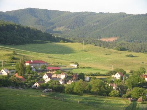
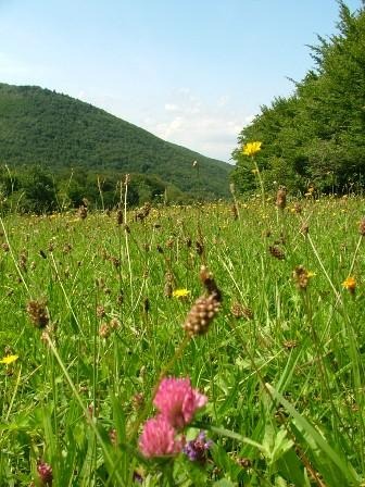

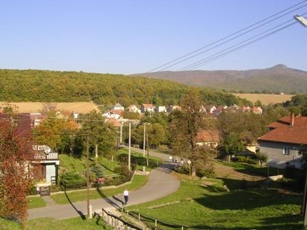
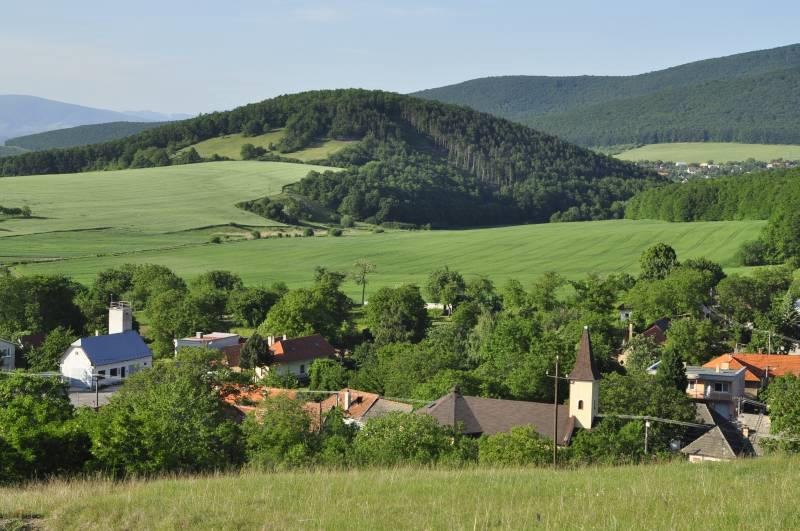
Geography
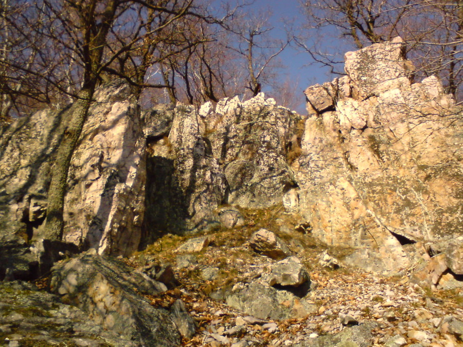
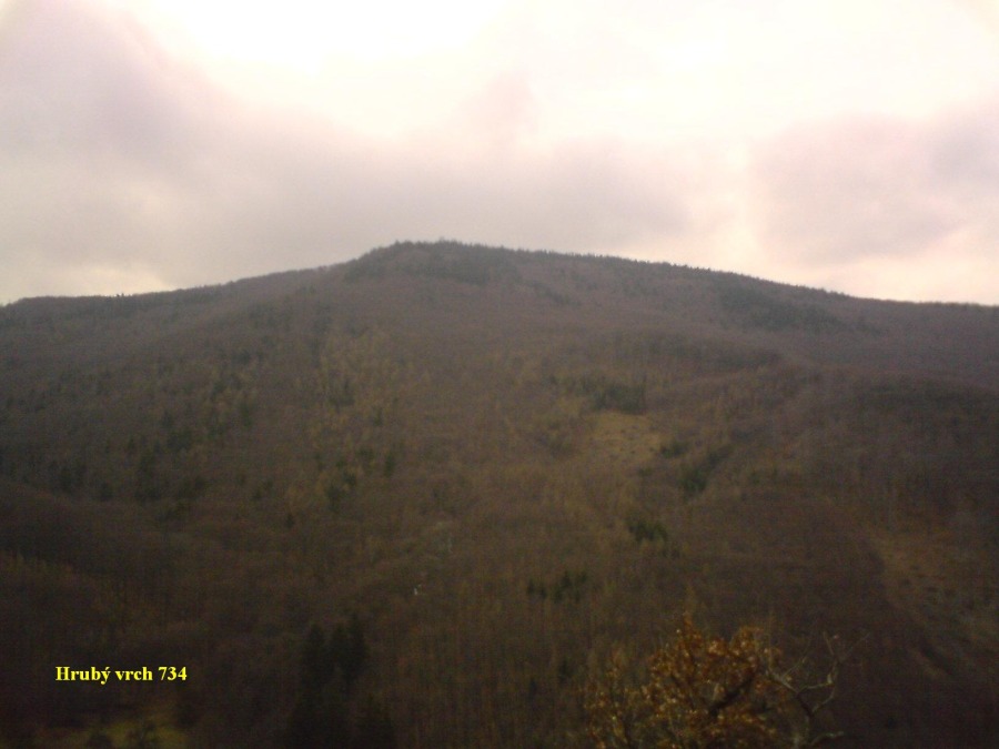
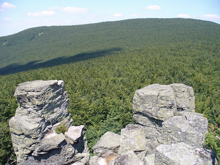
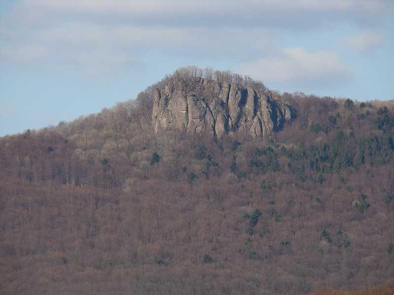
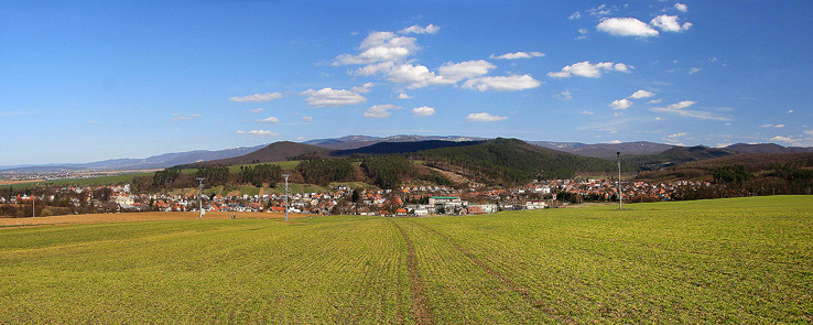
According to the geomorphological division, the area of the microregion makes part of the Alpine-Himalayan system, the subsystem of the Carpathian Mountains, the province of the western Carpathian Mountains and the subprovince of the internal western Carpathian Mountains. The area of the microregion is located in two areas, namely the area of the mountain range Slovenské Stredohorie, the unit of Vtáčnik, the subunit of Vysoký Vtáčnik and in the Fatra-Tatra area that comprises 2 units: the unit of Tríbeč, the subunit of Rázdiel and the basin of Horná Nitra as the unit and the Basin of Oslany as the subunit.
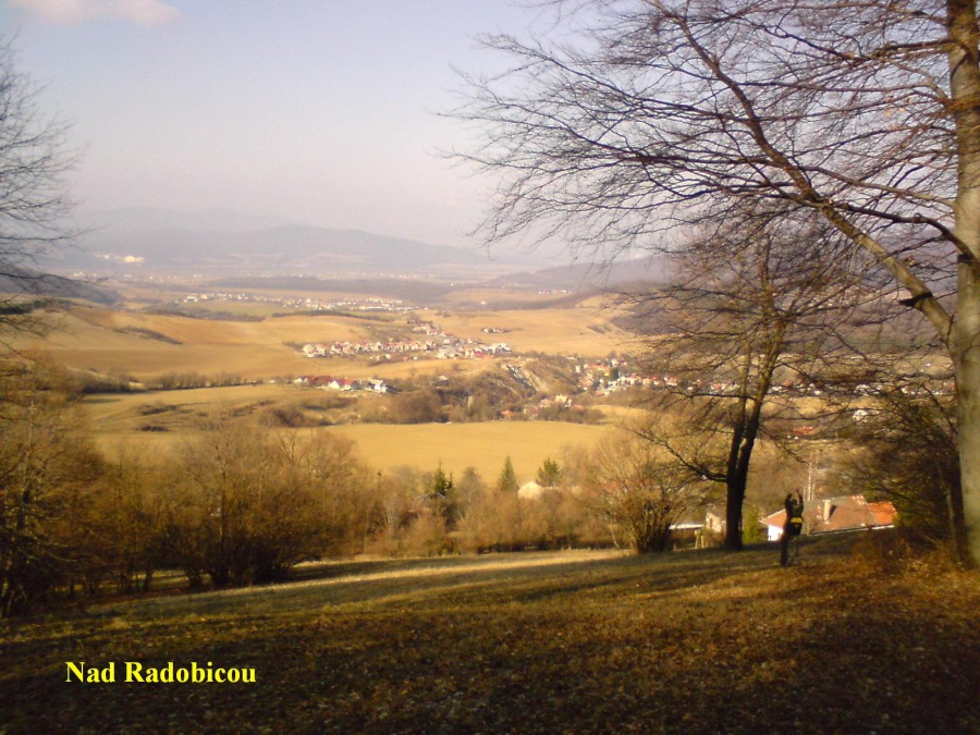
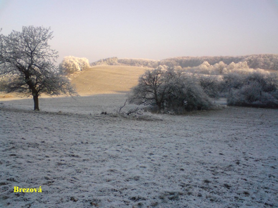
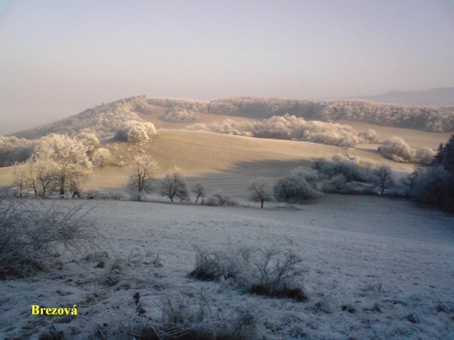
The area of the microregion is located in the river basins of the rivers Nitra and Hron. The villages Veľké Uherce, Oslany, Horná Ves and Radobica are partially located in the river basins of the river Nitra, which makes part of the river basin of the river Váh.
The surface water in the area of Veľké Pole – the creeks Čierny and Tomov belong to the main river basin of Hron and flow as the Pílanská creek into the river Hron.
The creek of Cerová, which flows into the river basin of the river Nitra, rises in the area of the cadaster. In the area of the microregion in the village of Veľké Uherce near the creek Drahožica is a water basin which has been functioning since 1969. The length of the river dam in the crown amounts to 300 meters with 5 meters in width and the maximum height equaling 11 meters.