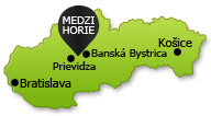


Microregion Medzihorie
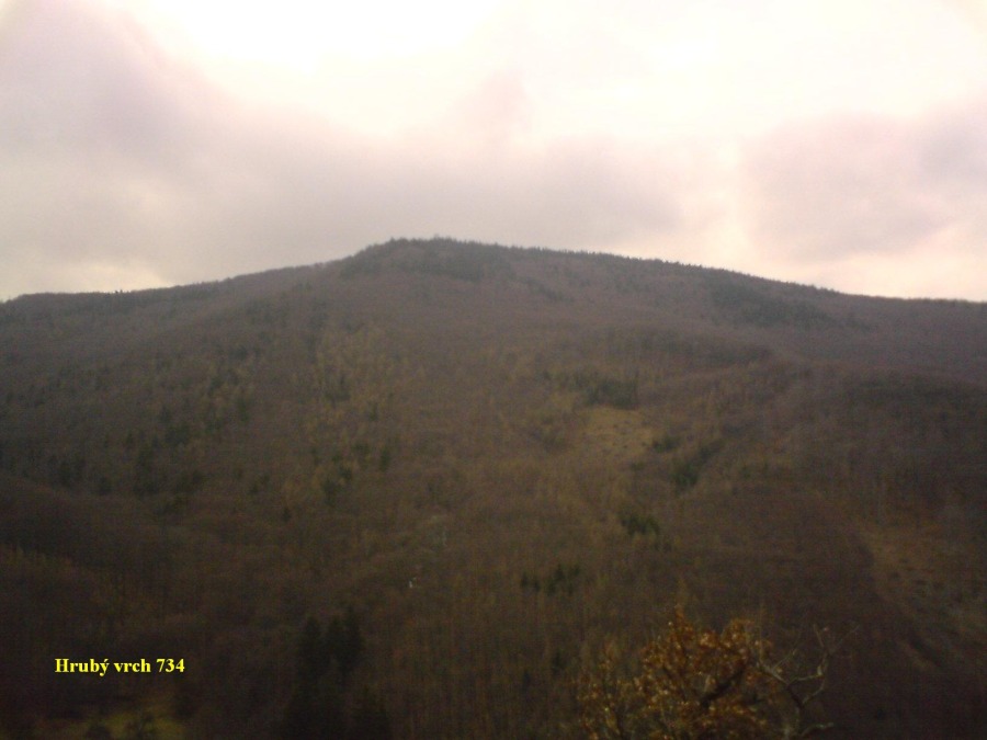
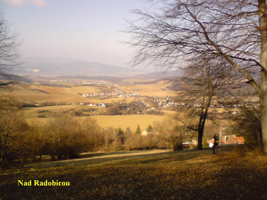
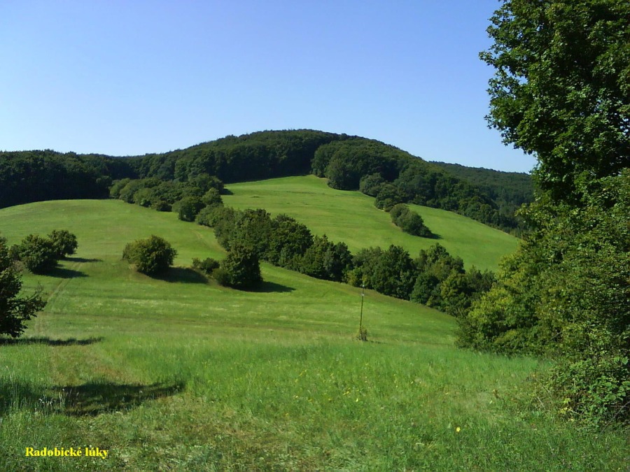
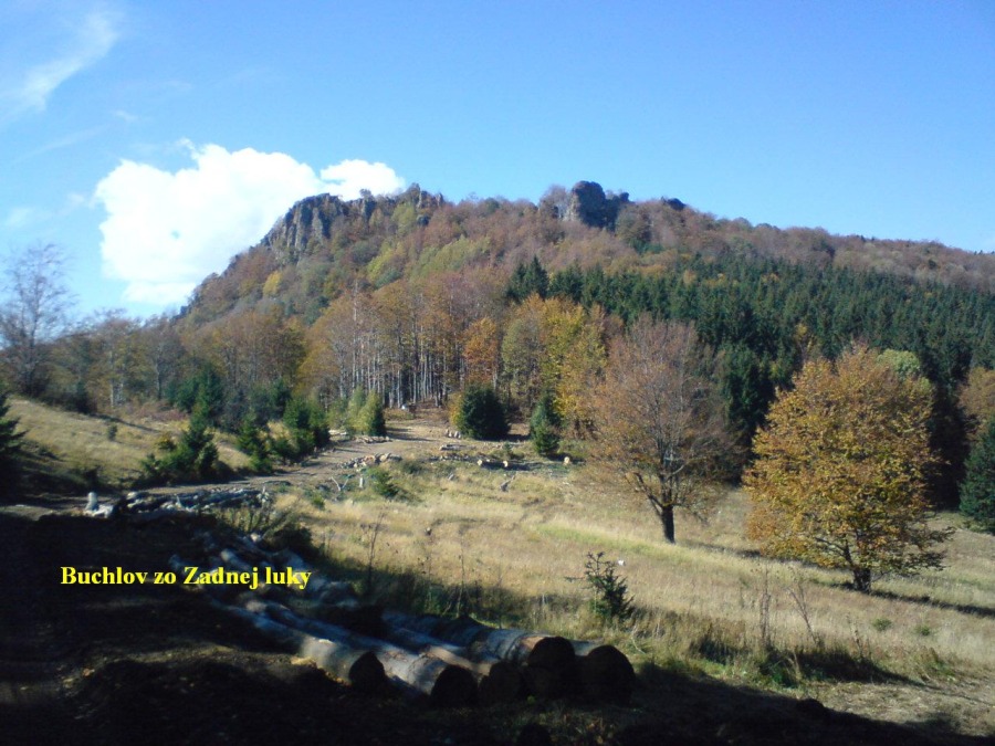
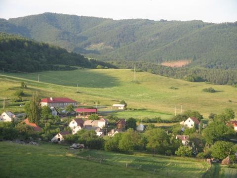
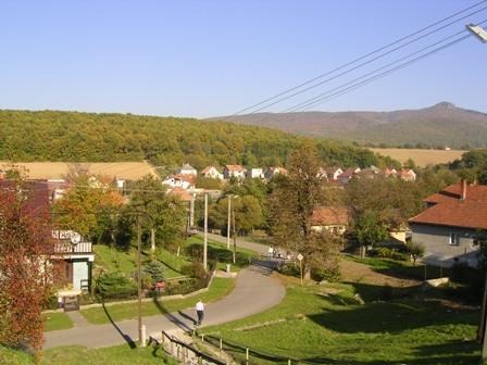
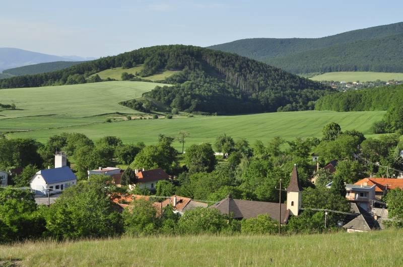
On September 4th 1998 the villages Horná Ves, Oslany, Radobica, Veľké Pole a Veľké Uherce formed a microregion Medzihorie by registering the microregion at the Ministry of Interior of the Slovak Republic under the code VVS/1-900/90-14027. The area of microregion is marked by the cadastral areas of individual villages taking into account the interests and borders with surrounding residential areas. The microregion is located at the border between the region of Trenčín and Banská Bystrica and at the border of the district of Prievidza (villages of Horná Ves, Oslany, Radobica), Partizánske (Veľké Uherce) and Žarnovica (Veľké Pole). The microregion has an area of 118.3 km2 a 6 264 inhabitants. The border of the microregions crosses over the mountain range of Tríbeč and Vtáčnik, the area of the hollow of Horná Nitra. The highest mountain is the peak of Buchlov at an altitude of 1040.5 meters above the sea level in the mountain range of Vtáčnik.
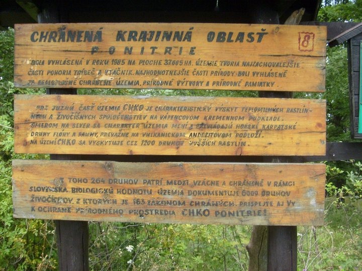
The area of the microregion is located in the protected area – Protected natural area Ponitrie.
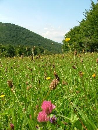
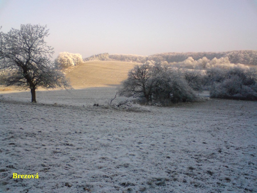
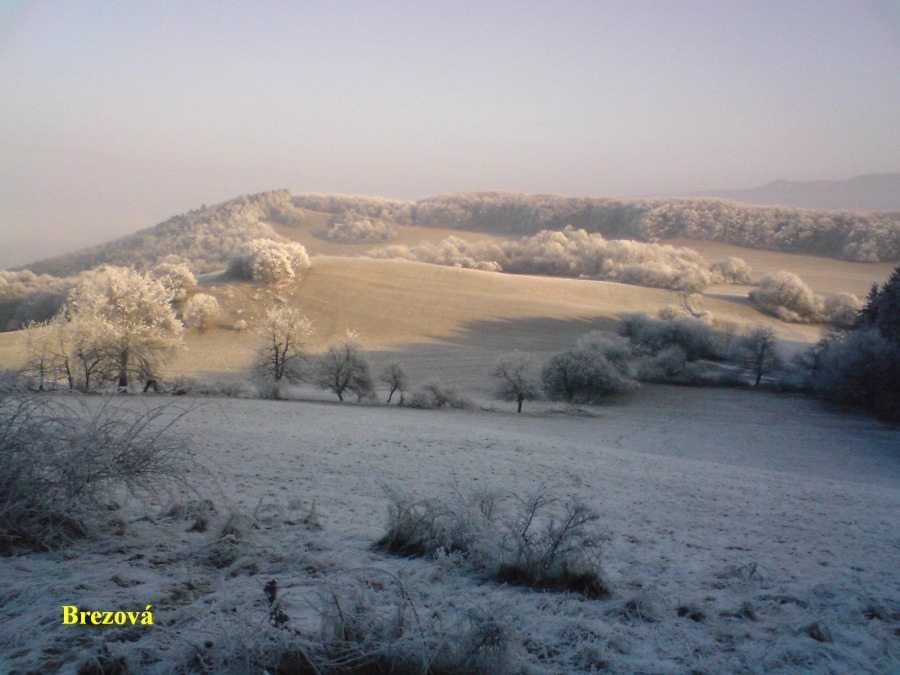
The protected natural area was established in 1985 spreading over 37.665 hectars. The area is paralel to the river Nitra from the south-west to north-east direction. It is located in two different geographical areas – the south-western part includes the crystalline secondary mountain range Tríbeč, the northern part is made of the volcanic massif of the mountain range Vtáčnik. The purpose of the establishment of the natural protected area Ponitrie has been to protect and preserve the nature of the mountain range Tríbeč and Vtáčnik, which are rich a large number of natural values. The mountain range Tríbeč is endowed with varied geological structure as it represents an old fault-block mountain ridge. The mountains are covered mostly by thermophile plant species. Among the typical forests are oak-hornbeam, oak and at higher altitudes beech forests. Younger mountain ranges of volcanic origin – Vtáčnik makes part of the volcanic Slovenské stredohorie. The mountain range Vtáčnik is characterized by beech vegetation and mixed vegetation of beech and fir tree. The summit is covered in beech vegetation of shrubby growth, the so-called deciduous mountain pine.
The microregion includes the following protected areas:
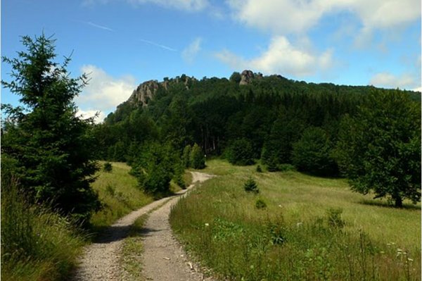
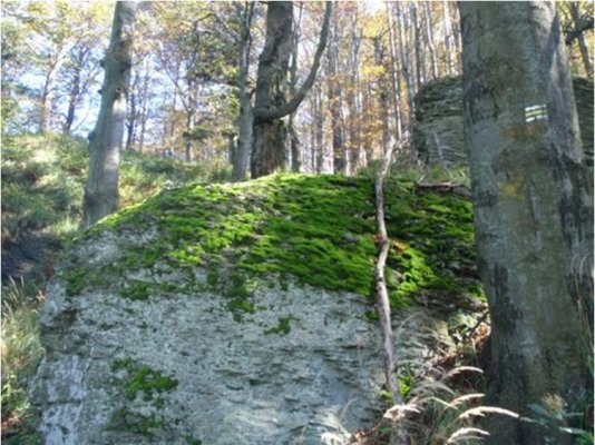
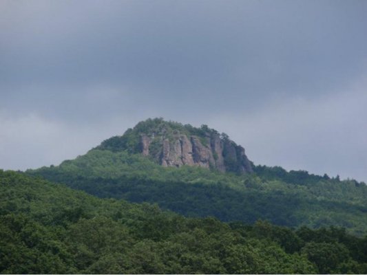
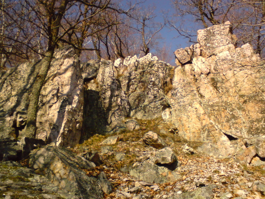
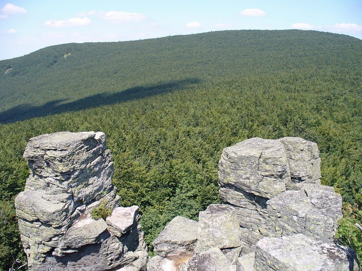
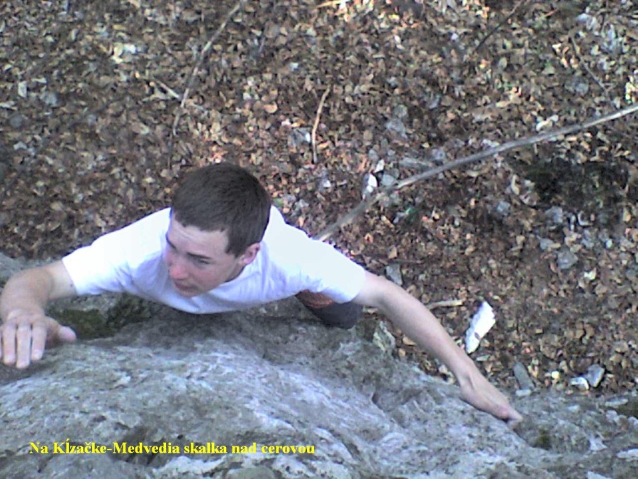
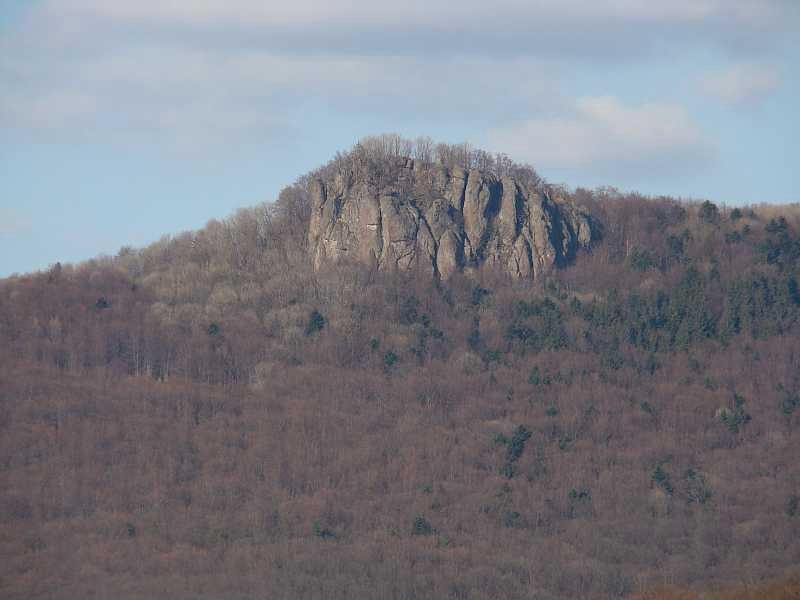
The Nature Reserve (NR) Buchlov, which has an area of 103.94 hectars, was established in 1984. It is a biologically valuable area, which is located at the side ridge of Vtáčnik. The nature reserve is made of morphologically significant andesit volcanic peaks Buchlov (1040 m. a. s. l.), Sladná skala (913 m. a. s. l.) a Žarnov (840 m. a. s. l.). The slopes at lower altitudes are rich in oak beechwood and beech oakwood. The ridge area is covered with beechwood and small areas of ash tree maple. What makes the area interesting is the incidence of the sessile oak in Buchlov at the altitude of 1040 meters. The reason for protection is to preserve forest and rock formations of flora and fauna. The relevance of the nature reserve lies in its geomorphological, biological and esthetic value. There is also a nature trail in the area.
Nature reserve Dobrotín rocks. The protected area having an area of 4.39 ha originated in 1980 in order to protect varied remains of floristically xerothermic plant groups of the geomorphological part Tríbeč. The area is rich in several formations such as wood, wood steppe, steppe, and rock steppe.
The nature reserve also includes the cave Dobrolín listed in the "Framework proposal related to the care for relevant and threatened caves in Slovakia". The cave is 26 meters deep and is rich in intervertebrate. In the cadastral area of Veľké Uherce is located 180-year-old solitaire of Large-leaved lime (Tilia platyphyllos), which was in 1993 declared to be a Protected tree (PT) Veľkouherecká lime.
In Veľké Pole, there is a protected limestone cave called Veľkopoľská.
The National nature reserve Sokolec has been suggested as well.
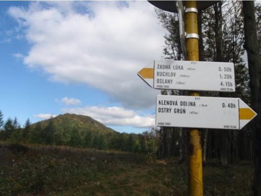
Nature trail Buchlov:
The start is from the villages Oslany, Horná Ves and the valley Bystričianska. The trail follows the green marking from the Bystričany valley to the crossroads Zadné lúky, over the ridge of the nature reserve Buchlov following the yellow marking up zo Žarnov. The trail is 5.3 km long with the ascent over 400 meters. The trail takes 3 to 4 hours to walk and is lined by eight educational boards. The first board presents basic information on the nature trail; the second one contains the description of the forest flora. The third board at the crossroads Zadné lúky provides information on the Nature reserve Buchlov, the fourth one demonstrates geology and geomorphology of Vtáčnik. At further stops, the boards include description of flora and fauna of the nature reserve, the old ash tree below Buchlow as well as basic information on the protected natural area Ponitrie. The route of the nature trail is not demanding, however, the access to the trail is. The nature trail was opened in 1983 and reconstructed in 1990 and may be characterized as self-serviced, linear, two-direction, hiking and summer trail.